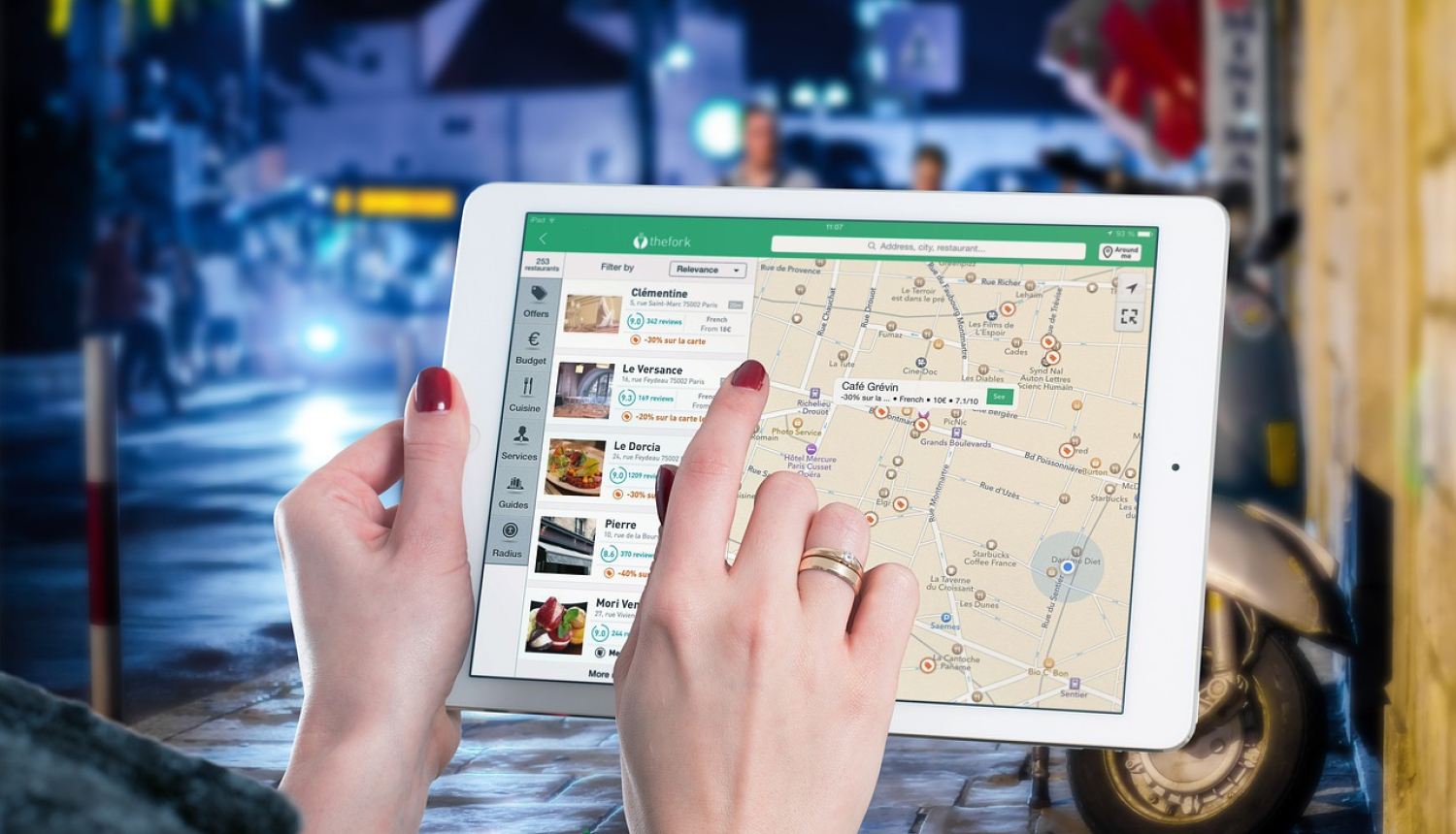
Today, soil research is increasingly using different solutions offered by digital technologies. The research of peat soil in Latvia, carried out under the project of the Norwegian financial instrument “Improving of Sustainable Soil Resources Management in Farming” (E2SOILAGRI), mapping of soil distribution was also used both in a classical way – mapping in field conditions as well as a remote sensing and machine calculation.
The main theme of the project videoconference “Assessment of the spread of peat soil – modelling, remote sensing and machine learning”, which took place on 31 August 2022, was the use of innovative methods in soil mapping and the comparison these methods with classical soil exploration methods. A small survey of participants was conducted to find out the conference participants' views on the digital approach to soil mapping. Here is what the survey results show.
More than half of the respondents (56%) believe that digital soil mapping techniques are still at an early stage and that further development is needed. The majority of respondents (79%) think that digital soil exploration should be used alongside classical soil mapping. As the greatest benefit of the use of innovative techniques in soil research, those surveyed consider higher rates of data collection, with the second benefit referring to lower costs of soil research. On the other hand, the biggest shortcomings are the introduction of relevant, usable data and the complexity of digital methods. Regarding the best use of digital research methods, more than a third of respondents (36%) consider it best to use for land management and farm planning. But less than a third of those surveyed (27%) consider the most appropriate use of data would be in calculation of carbon storage in soils.
Participants of the questionnaire consider that the conference theme highly topical, the information gathered at the conference is interesting and useful. At the same time, they draw attention to the importance and practicability of data interpretation and therefore the involvement of soil scientists in digital soil mapping, particularly in the correct interpretation of the results obtained, is very important.
The partners of the Ministry of Agriculture in implementation of the pre‑defined project “Enhancement of sustainable soil resource management in agriculture” of the Norway Grants Climate and Environment Program 2014 – 2021 “Climate change mitigation, adaptation to them and the environment” are the Norwegian Institute of Bioeconomy Research, the Latvian State Forest Research Institute SILAVA, the State Plant Protection Service and the University of Latvia. The project term - January 31, 2024.
The planned budget for the project is €1.83 million, consisting of €1.56 million of grant funding from Norway and €0.27 million of national co-financing.
Working together for a green Europe!


